Back to Home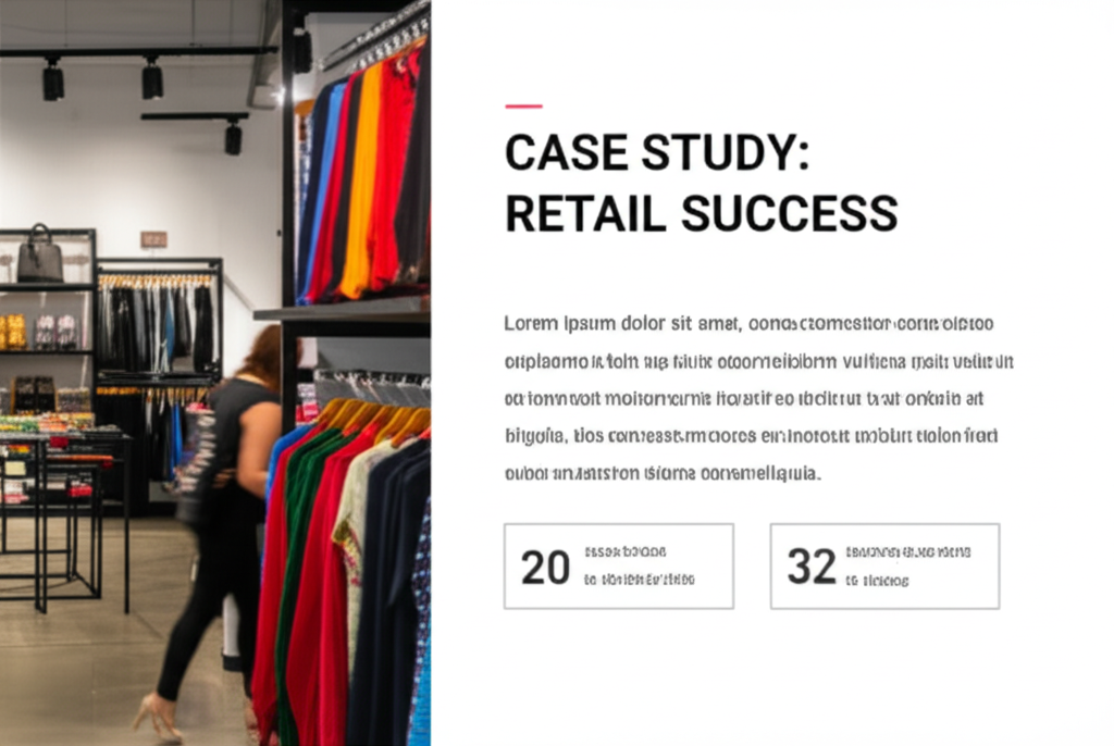 Read full case study
 Read full case study
 Read full case study
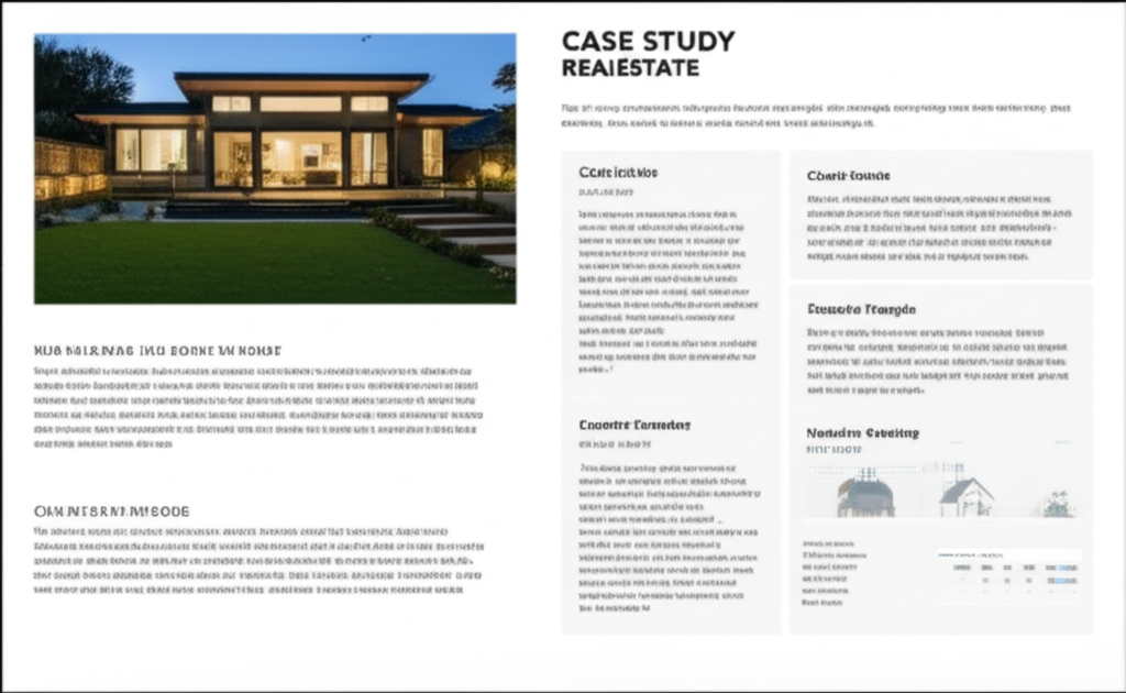 Read full case study
 Read full case study
 Read full case study
Case Studies
See how our clients are using Canopy Mapping to transform their businesses and achieve remarkable results.
Retail
NationalMart
Retail Chain Expansion
Retail Chain Expansion
How a national retail chain used location analytics to optimize their expansion strategy.
Key Results:
- •23% increase in new store performance
- •Reduced location research time by 65%
- •Improved customer targeting accuracy
Government
Metro City Council
Smart City Initiative
Smart City Initiative
Helping a metropolitan area improve urban planning with geospatial data.
Key Results:
- •15% reduction in traffic congestion
- •Optimized public transportation routes
- •Enhanced emergency response planning
Transportation
FastFreight Inc.
Logistics Optimization
Logistics Optimization
Reducing delivery times and costs with advanced route optimization.
Key Results:
- •18% reduction in fuel costs
- •22% improvement in delivery times
- •Increased driver satisfaction
Real Estate
Urban Developers Group
Real Estate Market Analysis
Real Estate Market Analysis
Providing property developers with detailed location insights for investment decisions.
Key Results:
- •Identified 3 high-potential development areas
- •40% faster market analysis
- •Data-driven investment strategy
Healthcare
Regional Health Network
Healthcare Accessibility
Healthcare Accessibility
Mapping healthcare service gaps to improve accessibility in underserved areas.
Key Results:
- •Identified 12 critical service gaps
- •Informed placement of 5 new clinics
- •Improved healthcare access for 50,000+ residents
Tourism
Heritage Tourism Board
Tourism Experience Enhancement
Tourism Experience Enhancement
Creating interactive location-based experiences for tourists in a historic city.
Key Results:
- •35% increase in tourist engagement
- •Extended average visit duration by 1.5 days
- •Boosted local business revenue