Postal Code Solutions
Advanced postal code boundary visualization and analysis platform. Our solution provides detailed geographic tessellation of postal regions, enabling precise address validation, service area optimization, and demographic analysis through interactive mapping interfaces.
Key Features
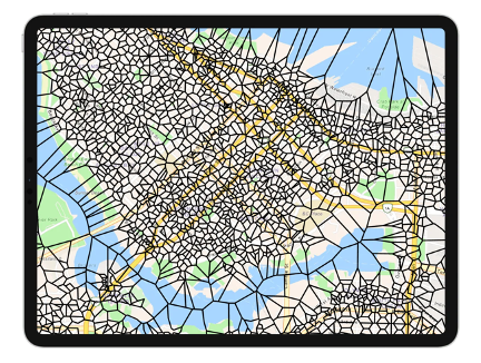
Postal Boundary Mapping
Visualize and analyze postal code boundaries with accurate, up-to-date geospatial data for the US, Canada, and international regions.
Address Validation
Verify and standardize addresses against postal authority databases to ensure accurate delivery and reduce returned mail.
Service Area Analysis
Analyze customer distribution, market penetration, and service coverage based on postal code demographics and geography.
Regular Updates
Stay current with quarterly updates to postal boundaries, reflecting changes made by postal authorities and ensuring data accuracy.
Optimize Your Address Management
Accurate postal code data is essential for businesses and organizations that rely on mail delivery, service area planning, or location-based analytics. Our Postal Code Solutions platform integrates with ESRI's ArcGIS technology to provide powerful tools for managing and analyzing address data.
- Reduce undeliverable mail and associated costs
- Improve customer data quality in CRM systems
- Optimize service territories and delivery routes
- Enhance location-based marketing campaigns
- Support compliance with postal regulations
Who Uses Our Postal Code Solutions?
Logistics Companies
Delivery and logistics providers use our platform to optimize routes, manage service areas, and ensure accurate addressing for efficient operations.
View case studyDirect Mail Marketers
Marketing teams leverage our postal code data to target campaigns, analyze market penetration, and improve response rates through accurate addressing.
View case studyGovernment Agencies
Public sector organizations use our solutions for emergency planning, service delivery optimization, and demographic analysis by postal region.
View case studyReady to optimize your postal operations?
Contact our team to learn how our Postal Code Solutions can improve your address management and location-based analytics.